


The Dodder Greenway
The proposed Dodder Greenway is being developed to be a Greenway of international renown and to be on a par with the best greenways in the world.
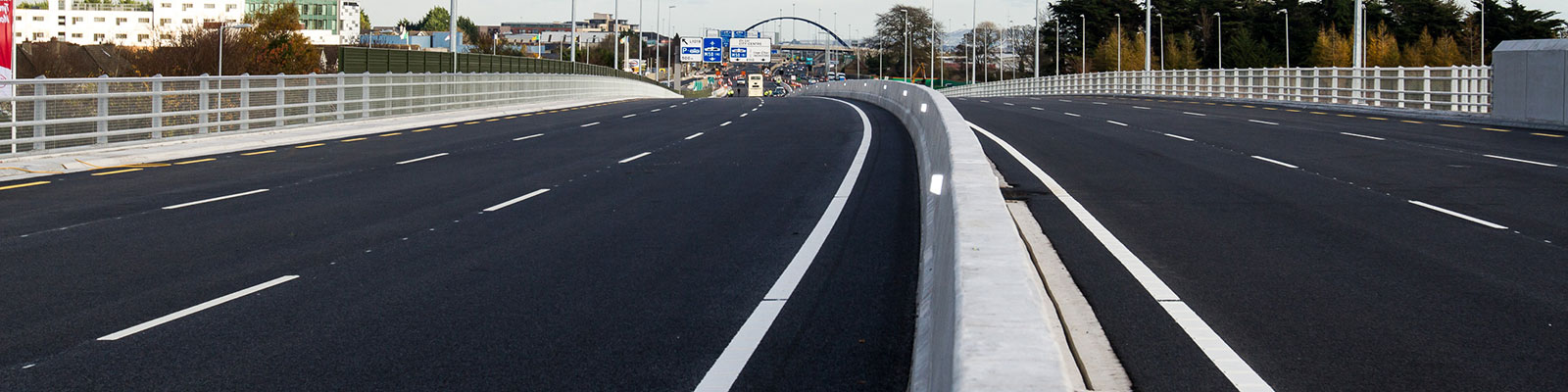
The Dodder Greenway will provide approximately 20KM of high-quality walking and cycling facilities along the Dodder River linking Sir John Rogerson’s Quay in the City Center to the entrance to the Bohernabreena reservoirs at Glenasmole, South Dublin. Although developed as a combination of off road and on road it utilises existing facilities within the Dodder Valley as much as possible to connect the linear parklands along the route.
The overall scheme's primary objectives are to deliver a successful Greenway and public amenity which maximises the following:
· Provision of an attractive Greenway and linear park;
· Delivery of a Greenway for pedestrians / cyclists in a low speed, pedestrian priority environment;
· Provision of linkages within the existing linear park system, particularly along roadways and existing road crossings;
· Provision of a high quality surface whilst minimising maintenance costs;
· Provision of an attractive, enhanced environment;
· Provision of a safe environment; and
· Enhancement of landscape and visual quality of the Greenway. The route must be sympathetic to the existing landscape.
The Greenway in SDCC
South Dublin County Council are responsible for 14km of the scheme from the Bohernabreena Reservoir to Orwell Park in Rathfarnham. Part 8 planning for the scheme within South Dublin was approved by Council at the October 2017 Council Meeting. Further information, planning drawings and planning reports are available here. This project is co- funded with €1.5m from the ERDF’s S&E Regional Operational Programme 2014-20 - Designated Urban Centres Grant Scheme, the National Transport Authority, and South Dublin County Council.
Phase 1 – Kiltipper Park
A section of the greenway travels through Kiltipper Park from the Bohernabreena Reservoir to the Kiltipper Park Care Home and these works were completed in late 2019.

Kiltipper Park
Phase 2 - Bridges
Three new cycle and pedestrian bridges were completed in 2021 at the following locations:
- Bridge 1 is in Firhouse to the rear of the Bolbrook Center linking the Avonmore and Milbrook estates to the Greenway
- Bridge 2 is in Kilvere Park and links Tempelogue Village to the Greenway
- Bridge 3 is in Bushy Park and links Tempelogue and Terenure Rathdown area to the Greenway

Bridge 1 Firhouse
Phase 3 – Parkland Links
Section 3 links the greenway within Dodder Valley Park from the Firhouse Wier, under the M50 to Firhouse Road at the existing Cherryfield Dodder Valley Carpark
The works were tendered in Sep 2020 but appointment was delayed due to national restrictions in place earlier this year.
Work commenced in June 2021 and were completed early in April 2022

Phase 3 – City Weir Plaza, Firhouse
Phase 4 – Springfield Avenue
In 2021 a part 8 public consultation planning process was carried out during which 88 submissions were received from the public. A copy of the Part 8 drawings and report can be found here. As part of the report SDCC committed to trialling a traffic calming design along Dodder Road Lower that retained some level of two-way vehicle movement as per submissions received during the consultation. Following the trial the design was slightly amended to reduce the one-way traffic movements, allowing two-way movements whilst retaining the main deliverables of segregated pedestrian and cycling facilities.
In conjunction with the Greenway works SDCC has also been working closely with the ESB to help deliver an ESB project to replace a section of legacy oil filled power cables. This was achieved by laying new 38kV ESB ducting along the route of the Greenway which minimised disruption to the public and avoiding two separate capital projects in the one area.
Works to Dodder Road Lower are estimated to take 6 months and should be completed by November/December 2023. General layout drawing for Dodder Road Lower can be found here.
Phase 5 – Kiltipper Road
The 2017 Part 8 in place for Kiltipper Road allows for shared cycling facilities to the lower half of Kiltipper Road with segregated cycling to the upper section.
Phase 6 - Firhouse Road & Butterfield Avenue
We have launched an online public consultation to give all citizens a chance
to have their say in how safe active travel may be achieved in the area from
Dodder Valley Park to Kilvere estate via Firhouse Road and Butterfield Avenue.
Please note that this is not a planning application. We are presenting options to the public, indicating the emerging preferred route and wish to gather as much feedback as possible. Once we have gathered feedback we hope to use that information to help inform a formal planning application later in 2022. During the planning phase a similar process with similar notifications will be conducted where the public can make submissions and have their say in relation to the preferred route.
The virtual consultation room can be accessed via the below link and online submissions can be made here before Jan 14th 2022:
Within the room there are videos, drawings and reports related to the scheme and we would greatly appreciate feedback on the current options being examined.
Submissions can also be made in writing by post to:
Senior Engineer, NTA Schemes, LUPT, South Dublin County Council,
County Hall, Tallaght, Dublin 24 YNNS

Artists Impression of Emerging Preferred Route