Naas Road
Introduction & Context
Built Environment & Placemaking
Climate Action & Energy
Population Growth & Housing
Sustainable Movement
Community Services
Economic Development
Natural Heritage
Infrastructure & Utilities
Introduction & Context
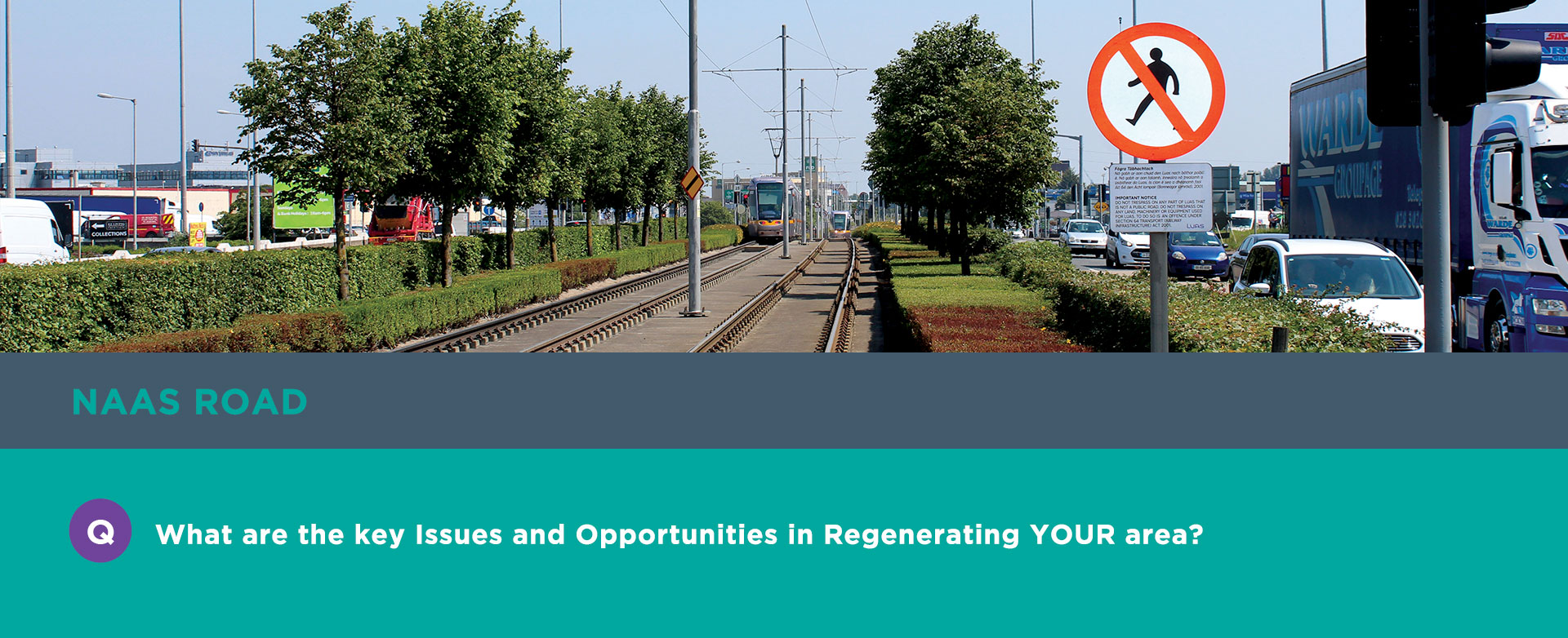
This Neighbourhood is situated at a strategic location within South Dublin and Dublin City, to the south of the Grand Canal and adjoining the Dublin City Council (DCC) administrative boundary. It is a significant settlement in regional terms and includes major retail facilities, office, industrial and employment areas. It is on a national and key economic transport corridor with a direct Luas connection and bus links to Dublin City.
The planned transformation of this Neighbourhood is in accordance with key national and regional objectives and the proper planning of Dublin as a sustainable compact city integrating land use and sustainable transportation. It is situated within areas identified for strategic brownfield regeneration. By delivering smart and compact growth and providing for a greater choice for housing, employment and mobility, the area will be focused on liveability and quality of life. This area will be a key growth enabler in the Dublin City and Metropolitan Area.
Built Environment & Placemaking
Regeneration of underutilised brownfield lands residential and commercial development.
Key transformation opportunity to support the compact development of Dublin in accordance with the NPF and the RSES.
Potential for an integrated land use transportation network.
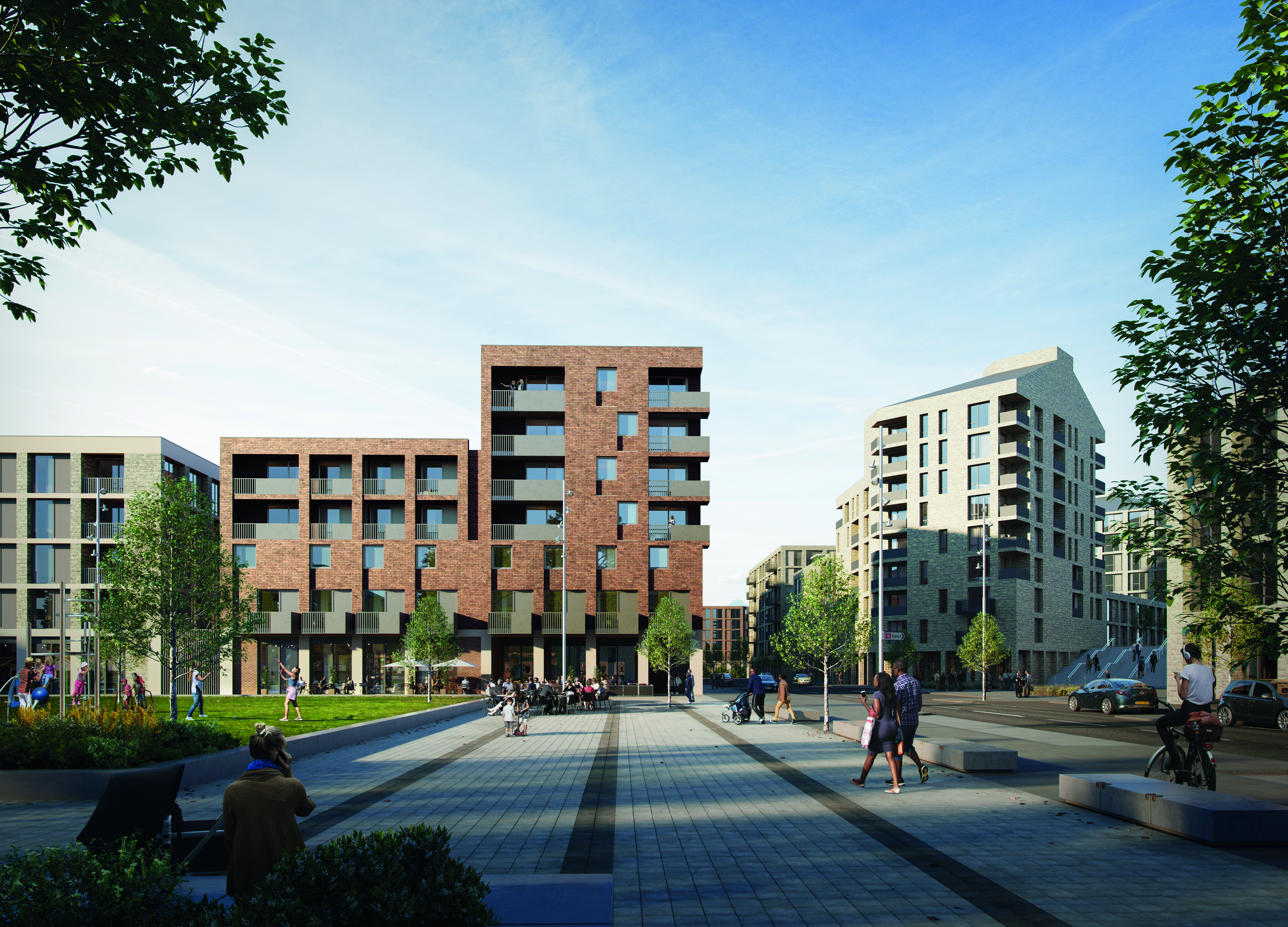
The transformation of the area to an urban quarter will create a sense of identity and place that connects with the surrounding communities.
Unique opportunity to provide for new homes, jobs, schools, community facilities and amenities in a sustainable and compact form which is served by high quality public transport and active travel modes.
Regeneration of the area plays an important role in the reduction of carbon emissions.
Act as a catalyst for growth for all stakeholders including local communities.
Combined, plan led approach in partnership with Dublin City Council (DCC).
The transformation of this neighbourhood will provide opportunity to connect and develop a Green Infrastructure network and enhance the natural environment and biodiversity of the area.
Climate Action & Energy
The transformation of this Neighbourhood will aid in reducing climate change at a local level through integrated settlement and travel patterns, energy use and the identification and protection of green infrastructure.
This Neighbourhood will capitalise on the existing public transport corridors in order to integrate land use and transport in a sustainable way and reduce carbon emissions.
Green infrastructure is a resilient approach to managing the impacts of climate change whilst providing many community benefits. Opportunities will be examined for linking the Grand Canal Greenway to this new transformed Neighbourhood and for greening streets and other areas as development progresses.
Population Growth & Housing
Sustainable Movement
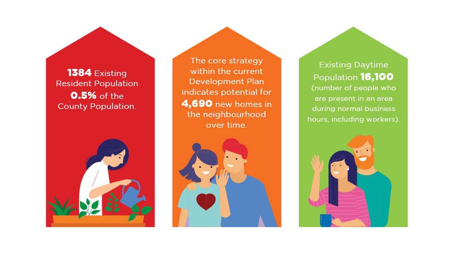
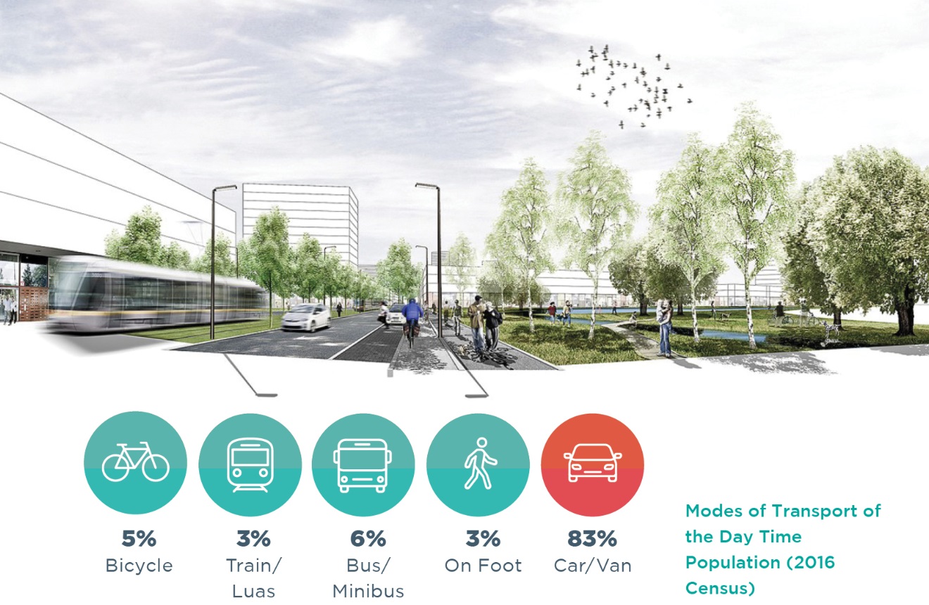
The 2016 Census indicated a high percentage of travel done by car/ van. Regeneration of this Neighbourhood will seek to improve the level of travel by public transport and walking & cycling.
This Neighbourhood area is surrounded by the communities of Bluebell, Walkinstown, and Drimnagh. The area is also close to several other communities including Crumlin, Inchicore, Fox and Geese, Ballyfermot and Parkwest.
The transformation of this area has the potential to benefit future residents and visitors as well as existing communities by enhancing connectivity, infrastructure and services to the benefit of everyone.
A Community Infrastructure Audit (CIA) will be carried out for this Neighbourhood as part of the Development Plan process. The function of the audit will be to examine and analyse the availability and capacity of existing community services in this Neighbourhood, and to determine future requirements, inform policy and objectives based on anticipated settlement growth and transformation.
Economic Development
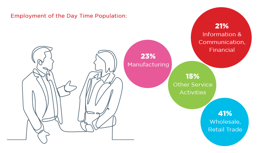
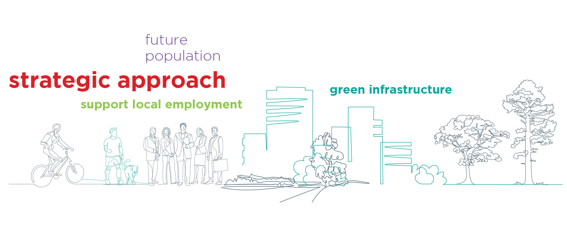
This Neighbourhood area continues to be a very successful industrial hub for the city. This is evident by the high numbers employed in industries such as manufacturing and wholesale, retail trade and information & communications. A cross boundary, strategic approach to the regeneration of these lands and associated infrastructural investment within this south western corridor of the Metropolitan Area is critical. This approach will have to take account of the need to support local employment and businesses as regeneration and new residential and mixed-use progresses. While some displacement of existing business will occur, it will have to be carefully considered in the context of the need to retain and expand existing employment opportunities within the county. Small to medium sized enterprise units could be successful in the transformation of the Naas Road Neighbourhood. Additional offices may be more compatible to this regeneration area and would offer the potential of higher levels of employment.
Retail
The upgrading of this Neighbourhood to an Urban Centre will further enhance its commercial viability for potential retail and office development. This will facilitate diversification of the mix of retail units in the area and create a retail core with surrounding streetscapes, to meet the needs of the future population.
Natural Heritage & Biodiversity
The natural environment has an important influence on the quality of life for people in urban areas and this landscape must accommodate many social, economic and environmental uses and functions. This Neighbourhood is designated as having a 'Suburban' Landscape Character as detailed within the Landscape Character Assessment (LCA) of South Dublin County (2015).
The LCA will be reviewed and updated as part of the Development Plan process. The will e an important component in the review of landscape and scenic designations and have resultant implications for land use policy.
Key measures required for this area include: Grassland and other amenity area open spaces managed for the dual benefits of public access and biodiversity; development of green infrastructure to connect different habitats within the urban context; and increased connectivity between open spaces as a means of enhancing biodiversity.
Infrastructure & Utilities
The Neighbourhood includes brownfield lands (developed land that is not currently in use and may be potentially contaminated) with a predominant pattern of low intensity industrial/ warehousing/ car sales uses on a variety of plot sizes.
This Neighbourhood is a strategic land bank for the County which will be developed over a number of plan periods, providing significant employment and residential capacity. The redevelopment of the lands will take time with several factors influencing delivery including site assembly and provision of required infrastructure. An Urban Regeneration Development Fund (URDF) is in place to support the regeneration of the area.
An opportunity exists to focus on renewable energy and district energy solutions as part of regeneration.
Back to the Top