Safe Routes To School St Mark's
St Mark’s Junior and Senior primary school is located in Springfield, Tallaght. On Maplewood Road, the road directly adjacent to St Mark’s primary school, traffic calming measures have been put into place in accordance with the Safe Routes To School (SRTS) programme.
Benefits of scheme:
- Reduce Traffic congestion on Maplewood Road making it safer for students walking and cycling to school.
- Encourage more students to choose Active Travel methods to get to school such as walking, cycling, scooting etc.
Survey:
A survey was conducted amongst students at St Mark's school and of the parents of the students. The data from this survey was used to understand what the perceived key issues of morning commutes were and to gain an understanding of what modes of transport were used most daily. The results of the survey were as follows:
- The most popular form of commute was car (53%) and the least popular was cycling (2%).
- The results in ‘How we would like to travel’ were much more even. 21% of participants answered cycling while 28% of participants answered car.
- The most popular reasons given for why students are not walking or cycling include, the weather (44%), live too far from school (34%) and heavy school bag (26%).
- Some general feedback from the survey were: Cycling and scooting levels to school are very low and There is double parking and dangerous driving directly outside school.
- 88% of parents support better walking and cycle markings/paths – to make clearer and safer connections with the surrounding area and 93% support bollards – outside/near school gates to stop illegal parking on footpaths or on double yellow lines and to make it safer to walk/cycle.

Park and Stride
Park and Stride is an initiative that coincides with the works done in the Safe Routes To School scheme. The initiative involves parking up to a 10-minute walk away from the school and walking the rest of the way. Park and Stride reduces traffic congestion at the front of school which in turn reduces the risk of accidents and improves air quality. It also frees up space and creates a calmer space at the front of school for all students.

Works done in this scheme using input from the survey includes:
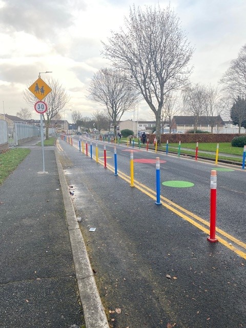
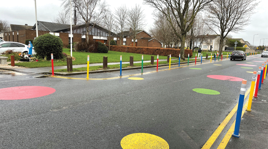
- installation of pencil bollards to narrow the carriageway so that parking doesn’t occur on the road in front of the school.
- The pedestrian warden’s crossing point was upgraded to a raised zebra crossing with solar powered flashing Belisha beacons.
- All the parking outside the school is now occurring in the nearby church car park and the road outside the school now significantly safer than before for all road users, particularly school kids and other vulnerable road users.
Parts of the existing carriageway on Maplewood Road are as wide as 9.8 m and on Fernwood Way are as wide as 7.5m which allows for on road parking and encourages excessive speeding and congestion in front of the schools. The proposals will narrow the carriageway to 6 m on Maplewood Road and remove the possibility for cars to park on the road. This will prioritise walking, cycling and scooting alongside additional landscaping and trees.
The consultation for this project was open from 22/04/2022 to 27/05/2022 and is now closed but is still available here.
